
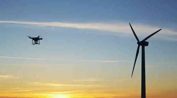
From being considered an expensive and technologically half-baked invention, to an essential and low-cost tool for a myriad of applications, today’s aerial imaging technology has evolved organically and made its presence felt in a range of industry verticals. In some cases, Aerial imaging has proved to be absolutely critical – agriculture, real estate, mining operations and defense utilize aerial imagery as a primary surveillance and scoping tool.
With the consistent evolution of a number of capabilities including the base speed of image processing software, the aerial imagery industry is evolving and growing at an unprecedented pace. The big change, however, is in the hardware. Today, the development of relatively low-cost drones is making aerial photography easier than ever before, thereby opening this technology to a wider range of applications and user groups.
The oil and gas sector reign supreme as the biggest end user of aerial imaging technology. However, market experts at Technavio maintain that the real growth for aerial imaging technology will be likely due to the three functional areas as listed below-
1) Precision agriculture
In the case of present day precision agriculture, farmers are largely utilizing sophisticated tools and technologies to increase crop yield, reduce costs and consequently maximize profit margins. Given the numerous benefits, the demand for cutting-edge technology in this discipline is growing. From computer-controlled seeding and fertilizing to GPS-enabled tractors, from apps that track the commodity markets to aerial imaging for efficient farming management, precision agriculture is going hi-tech.
 Aerial imagery is an essential tool for precision agriculture since it enables efficient and effective crop production to maximize profitability. Farmers can accurately measure the normalized difference vegetation index (NDVI) using aerial images captured through drones to look for subtle variations in visible and near-infrared radiation. Neat, right?
2) Disaster risk reduction and prevention
Aerial photography helps to avoid the really adverse impact of natural disasters and similarly devastating hazards. These aerial images can help analyze the risks and facilitate in planning and implementing swift changes that could potentially avoid a catastrophe and save human lives. This includes measures to avoid landslides, monitoring the overflowing rivers during heavy rainfall and tracking wildfires during heat waves.
Aerial and satellite imagery equipped with GIS maps can give disaster and emergency response administrators a wealth of information for situation assessment, analysis and quick response.
3) Urban Planning
Sustainable urbanization involves improved infrastructure, conservation of resources, and betterment of the quality of life. In this light, development of smart city projects that incorporate digital technologies and M2M communications to provide connected solutions is thankfully proliferating. Consequently, this scenario urges the communication service providers (CSPs) to develop advanced infrastructure to monitor and maintain the complex networks.
Aerial imagery provides a way to monitor project implementations. The information from aerial imagery can be used precisely to document the construction status and eliminate unnecessary latencies. In the same manner, developers use aerial imaging technology to study the main causes that contribute to planning issues, including overcrowding of buildings, traffic congestion, and district heating. Ultimately, aerial surveillance helps city planners to focus on potential redevelopment projects and implement measures required for sustainable urban development.
The global aerial imaging market is on the rise, a fact that is perfectly encapsulated by the associated market research report from Technavio. FREE sample can be downloaded herein.