
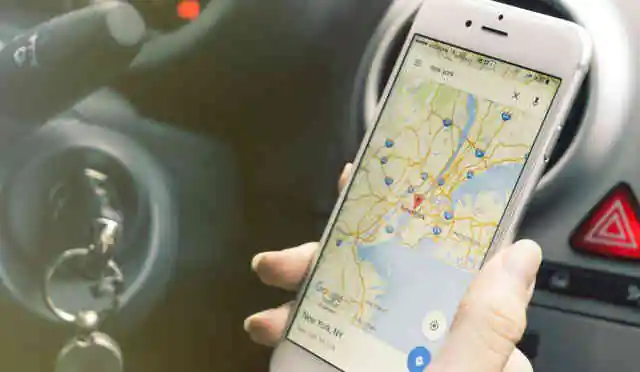
There was a time when maps were an integral part of your travel bag. At least for a traveler from the western world. For someone from a third world country, asking directions from the local shopkeeper or a fellow traveler was the norm. However, things have changed. Now you do not see just an American or European traveler with a map in hand, exploring unknown places – rather with smartphones, a huge percent of the population uses mobile mapping systems on a day to day basis. Mobile mapping systems are so popular today that industry experts expect the market to grow at a CAGR of 14% by 2021.
Mobile mapping systems: How does it work?
Mobile mapping systems (MMS) collect the geospatial data with the help of mapping sensors. Typically, MMS is mounted on moving platforms such as cars, marine vessels or airplanes. Technologies like GNSS and INS are hugely employed to enable direct and precise mapping of landscapes, objects or features.
For instance, one of the most popular mapping systems – Google Maps – has partnered with several comprehensive and authoritative data sources to demarcate geographies and keep its ‘base map’ updated. There are several few innovative map providers have been developing real-time map updates based on the crowdsourcing model, wherein the user can update the content in real time. So, if a user posts updates about a road blockage due to construction work, then other users will be able to view this update.
Recently Mitsubishi released MMS-G220 to provide a highly accurate measuring system which provides 3D positioning data of road surfaces. With the help of Japan’s Quasi-Zenith Satellite System (QZSS), G220 will provide seamless service regardless of the geography. It will also significantly improve the accuracy of positioning in areas where signals from GPS satellites cannot be clearly received due to skyscrapers or natural terrain.
The future of MMS
The rate of adoption of GPS-based smart mobiles has increased substantially. As these GPS-based applications and devices are built on digital maps, they provide location information to end-users. With huge applications in industries like travel & logistics, healthcare, defense, and military, smartphone manufacturers are developing partnerships with digital map providers to provide inbuilt digital maps on their devices. One industry where MMS has gained immense popularity in the recent time is the wearable pet market. Mobile applications developed with inbuilt digital maps retrieve information from pet tracker devices to track the location of pets, should these be lost or stolen. For example, Tractive builds applications and a social media platform along with pet wearables to develop an ecosystem for pet owners. The company offers Tractive GPS 2 which provides real-time tracking feature by using multiple sensors (such as motion, ambient temperature, and light). These sensors send relevant information about the pet’s real-time location and heartbeat to GPS-enabled smartphones, thereby providing remote tracking and monitoring benefits.
With the advent of IoT, the prospects of MMS have grown further. IoT has already made in-roads in almost all industry verticals. When synergized with MMS, users get real-time tracking of location, fuel quantity, and historical data based on which business strategies can be built. Thus, MMS is one technology which though was conceived for better location determination and now has moved on to helping build better business plans.
To know more about MMS